Last Updated on 5 July, 2024
I’ve been discovering more natural corners of my home country that I’d never visited before like Kranji Countryside and Pulau Hantu, and I finally made a proper visit to the one island that most Singaporeans know – Pulau Ubin. I thought I’d share with you my Pulau Ubin guide for solo travellers like myself, with my practical tips on some things to do on Pulau Ubin that I enjoyed.
One fun fact that I usually have for visitors is that Singapore is not a single island – there are over 60 smaller offshore islands in the surrounding waters, and these are some of the best places to go to escape city life for a bit. Pulau Ubin is one of the most well-known and easiest to get to, and probably has the richest history as it has its own community of residents still living there.
The NParks Pulau Ubin site is pretty useful for most practical information, but I’ve included some of my own thoughts in this article if you want a more personal take.
Getting to Pulau Ubin
Pulau Ubin is in the Northeastern corner of diamond-shaped Singapore, kinda sandwiched between the shores of Malaysia’s Pasir Gudang, Singapore’s Pasir Ris and the army island of Pulau Tekong.

From Singapore, you head to Changi Point Ferry Terminal to catch a small boat 15 mins across the water to Pulau Ubin. It’s a pretty ulu corner of Singapore that most people only venture out to if they want to feast at Changi Village Hawker Centre or staycation at Village Hotel Changi – I’ll talk a little more about what else you can do in this area further down in the article.
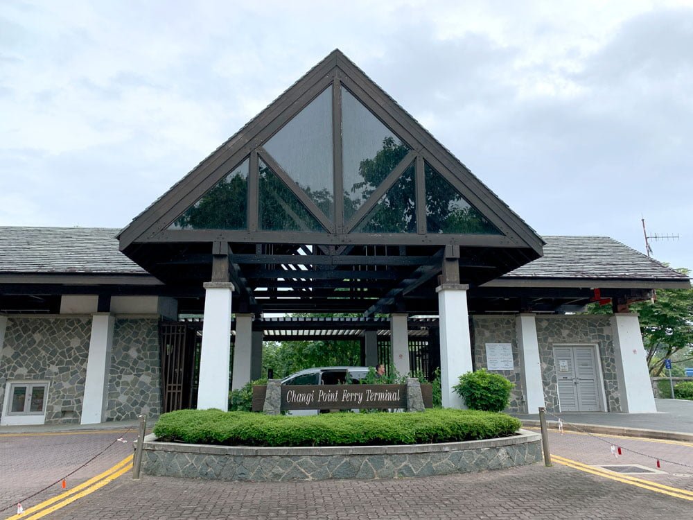
From the entrance of Changi Point Ferry Terminal, follow the sign pointing to the right for Pulau Ubin and walk down the stairs to the waiting area which is really a large room with a bunch of chairs. You’ll most likely encounter a bunch of older men sitting around – these are your boat drivers waiting to ferry you to the island. Say hello to them, tell them you’re headed to Pulau Ubin and how many of you there are travelling together.
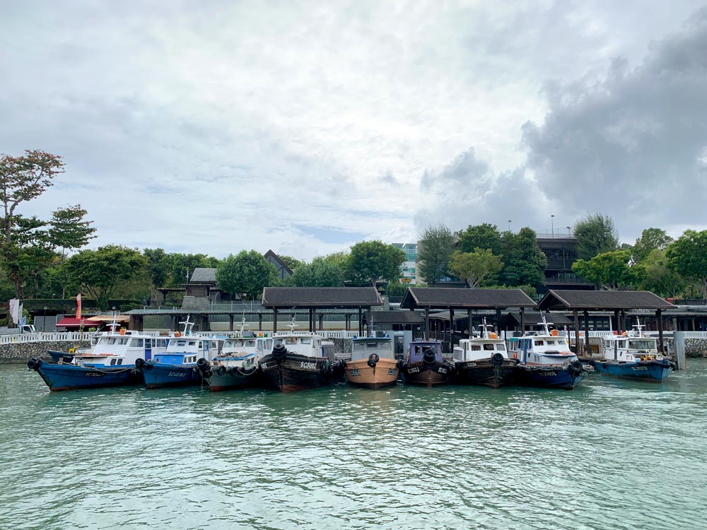
The thing about Pulau Ubin ferries is that there is no fixed time schedule. Generally, you wait around till they’ve gathered 12 people to fill the boat before it leaves. So while weekdays might be generally less crowded, you also might end up waiting longer for your boat to go.
When I arrived at the ferry terminal on a Sunday morning about 830am, I waited for around 10 mins in total. A group of 10 mountain bikers with their bikes arrived and along with what looked like a local man returning home with his wares, we formed our group of 12 and off we went. Each boat is unique, but they are generally small wooden boats that fit 12 people.
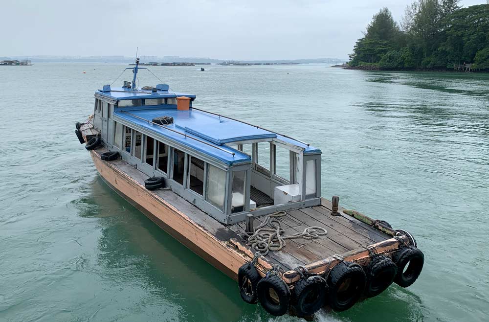
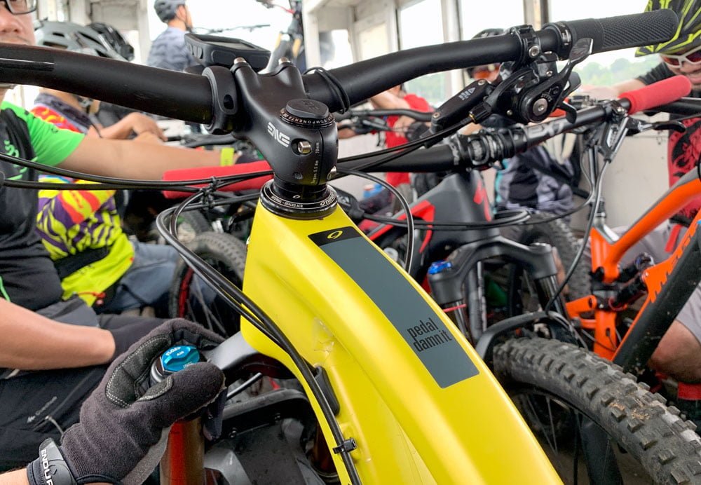
The boatman collects S$3 from you in cash (per way, per person) either before he leaves or en route. Best to give exact or small change if you can. If you want the boat to leave earlier with fewer than 12 people on board, be prepared to top up the extra $$.
Cycling in Pulau Ubin
Pulau Ubin is not very large, totalling just about 10sq km. I decided that the most efficient way to get around was to cycle, which is the most popular option judging by the number of bike shops on the island.
Cycling and bike rental tips
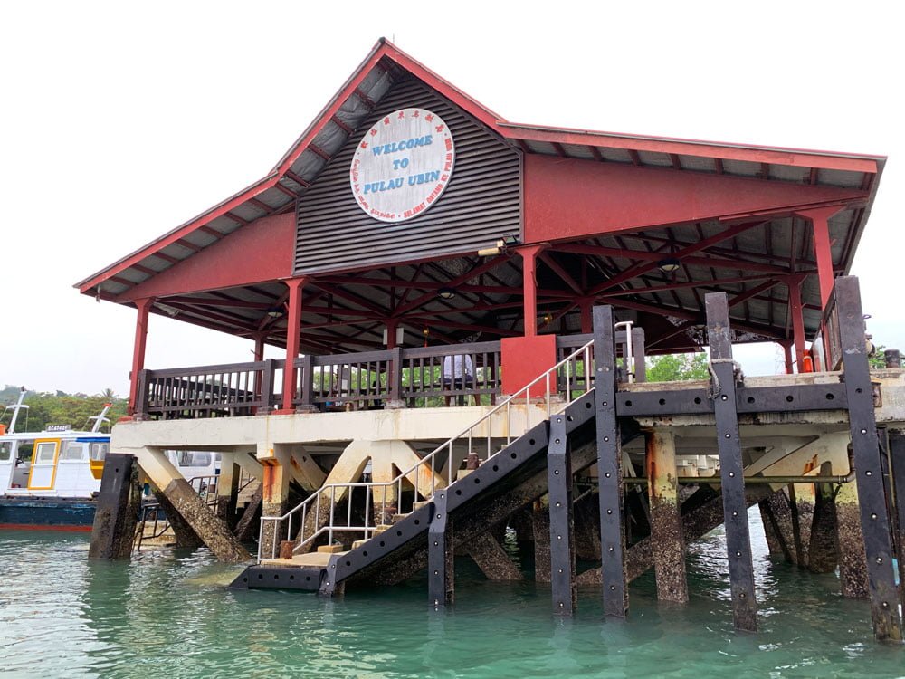
From the Pulau Ubin jetty, turn left onto Jalan Pekan Ubin and you’ll be greeted by a small road lined on either side with hundreds of bicycles. There are a lot of bike rental options here, so if it’s not too crowded, take your time to walk around and look at the options available – most of the stall owners will come out and ask you to rent a bike from them.
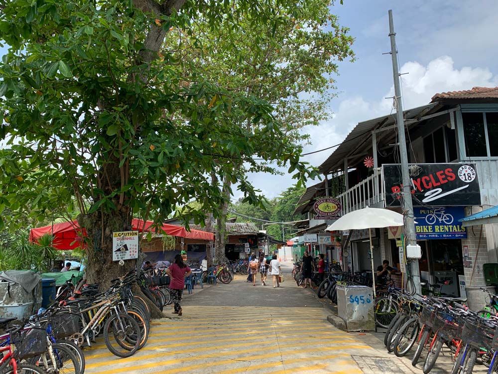
That Sunday morning I was there was surprisingly quiet – a local said it might have been because it was the 9th day of the Lunar New Year (which involves prayer to the Jade Emperor for Hokkiens and burning sugarcane offerings) or the dampening of spirits from the Coronavirus news, so people might have started off a little later than usual that day.
But whatever the case since I was one of few customers, I was offered prices as low as S$5 for a bike for the day – generally the price ranges from around S$8 – S$20 per day depending on the type of bike.
Now here’s my personal advice from my experience: don’t go for the cheapest – rent a decent bike. The roads are generally quite well maintained, a mix of blessedly paved tarmac and bumpier gravel roads in most cases, but there are some subtle inclines, particularly in the Eastern side, that having a good bike would make a much more pleasant experience.
I took the S$5 offer from a rather surly older man and while the bike was in okay condition, the brakes were kinda squeaky and the gear change wasn’t as smooth as I liked when I rode. I had to get off to push when the slopes were steep because it was a bit too tough to pedal and by midday when I was back in the village I was ready to call it a day.
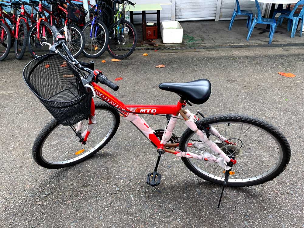
I chatted up another bike store lady to get a sense of pricing, and she recommended me to take a slightly more expensive bike which usually goes for S$12 (since it was already afternoon, she let me take it a little cheaper) and I could definitely feel the difference when I was riding – there were more gears to change and I found the second ride more smooth and the bike more powerful.
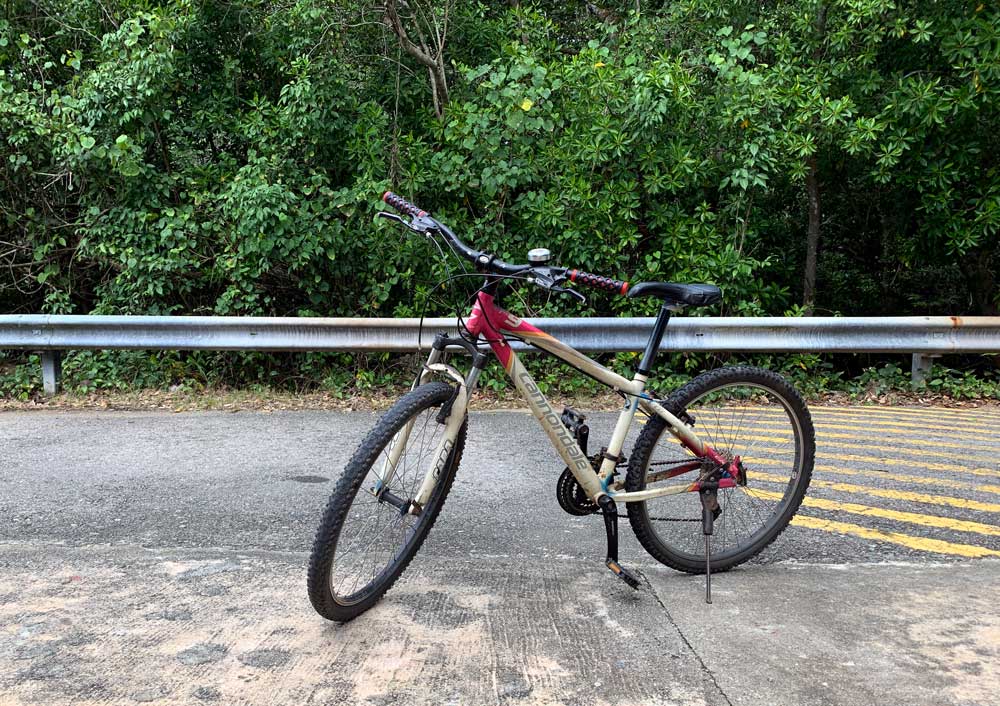
The bike store I rented from is called Pulau Ubin 18. Note for Singaporeans, they even take Paynow or Paylah if you somehow forgot to bring cash with you despite me reminding you multiple times.
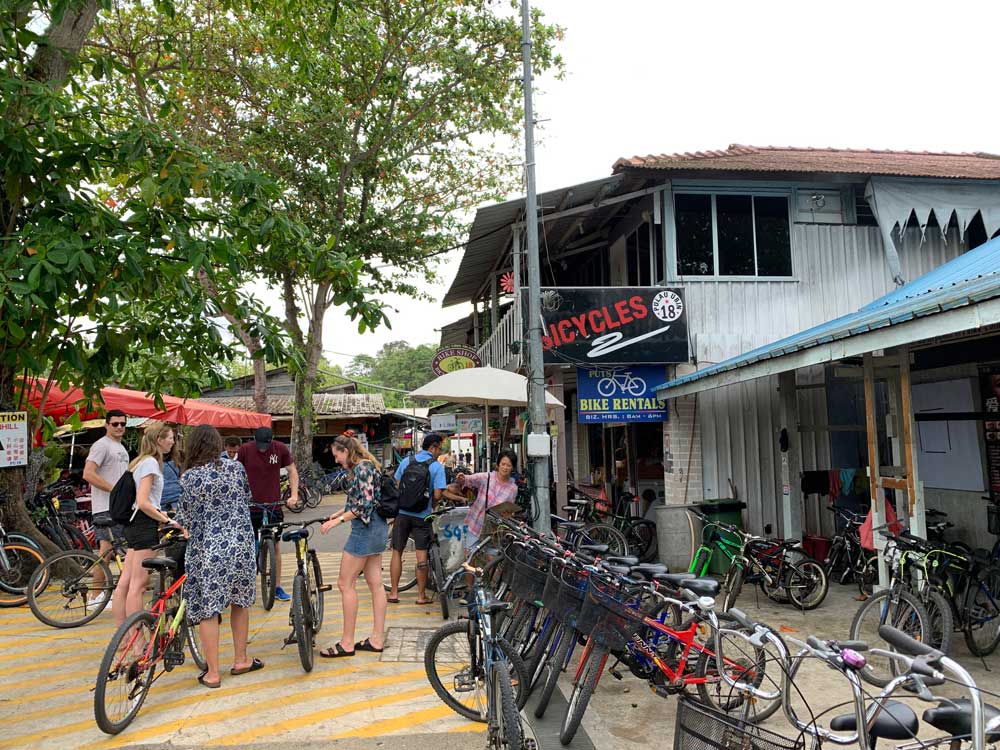
There are tandem bikes and bicycles for children as well. If you bring your own bike, pay an extra S$2 on the boat ride over. No electric bicycles or e-scooters are allowed here.
Other ways to get around Pulau Ubin
Walk: If you’re the sort who enjoys a good hike, you just need to have some good shoes for dirt roads and the occasional slope. According to Google, it should take you about 45 mins to walk from the main village to Chek Jawa, and about 25 mins to walk to Puaka Hill.
Taxi: There is a taxi service from the main village – look out for the little shack of sorts on your left as you exit the ferry terminal and walk towards all the bicycles. The taxi is really a mini van of sorts and you can negotiate prices for travelling to specific locations or by the hour.
Morning: Pulau Ubin East Loop
For the general visitor with limited time in Singapore or just wants Pulau Ubin’s highlights, half a day on the east side of Pulau Ubin covering Chek Jawa should be sufficient.
Chek Jawa
Chek Jawa is probably the most well-known sight to see on Pulau Ubin. These wetlands are some of Singapore’s few remaining natural ecosystems, and what’s unique about this intertidal area is that you get 6 different types of habitats in a single area.
Can you believe they were planning to reclaim this land back in 1992? Protests and further discovery led to the preservation of the area and in 2000, Chek Jawa was opened to the public as a protected park where you can see mangrove forests and other interesting coastal flora and fauna depending on the tides.
How to get there
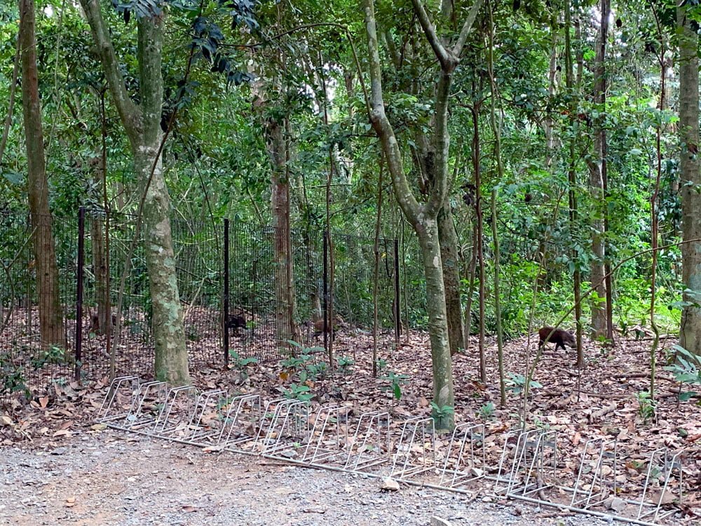
It took me about 20 mins of cycling eastwards from the main village to reach Chek Jawa. The entrance to Chek Jawa is accessed from Jalan Durian and you have to park your bike at the main entrance. Right here, I had my wild boar family sighting!

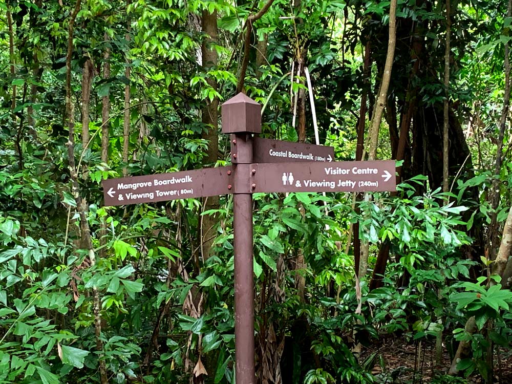
When you walk into the park, there’s an information counter of sorts with a vending machine and some panels about Chek Jawa along with the tide table.
House No. 1
I suggest taking the rightmost path and starting with the Chek Jawa Visitor Centre which is also known as House No. 1 (what a cool address), a 1930s house built in that typical Tudor style with the black and white timbers, painstakingly restored and awarded conservation status.

Look out for the fireplace – it’s apparently the only original one from that era left in Singapore but is now home to a family of bats. There are some panels and exhibits about the house and Pulau Ubin on the lower levels. There are toilets and sinks in the separate outhouse that’s pretty clean.

Viewing Jetty
The back of the house leads to a viewing jetty that you can walk out onto and admire the Changi coast area and another smaller island called Pulau Sekudu or Frog Island. There’s a weird legend that a frog, elephant and a pig tried to swim across the waters and didn’t quite make it – the elephant and pig became Pulau Ubin while the frog became Pulau Sekudu. You can try and spot the frog-shaped rock on the island if you’re sharp-eyed enough.
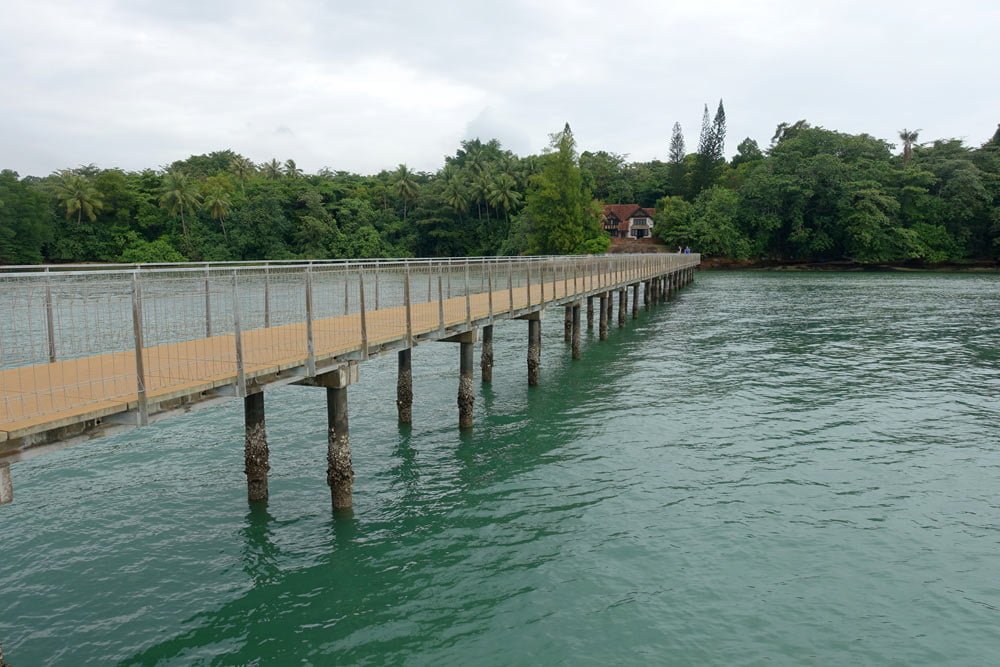
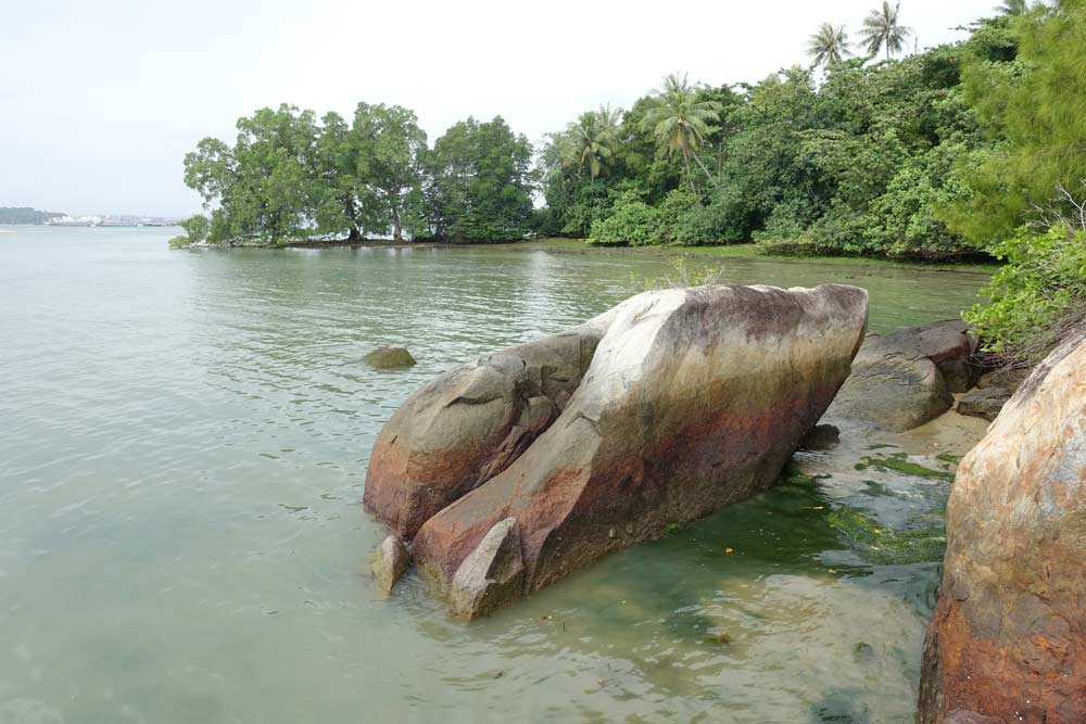
One thing I realised about Chek Jawa is that because of its proximity to Changi Airport, you do get planes passing over quite low every 15-20mins or so and it gets pretty loud. Plane spotters will probably enjoy checking out what’s flying over, I guess the animals are probably used to the occasional engine roars.

Coastal + Mangrove boardwalk
Back to the junction, I suggest starting with the coastal boardwalk which takes you along the coastline before looping back to the mangrove boardwalk through the mangrove forest. I spotted a large monitor lizard lazing on the beach and also noticed a whole lot of seagrass in the water below me. Bird waters should look out for passing birds – I’m no expert but you can apparently see kingfishers and sea eagles among other migratory birds around here.
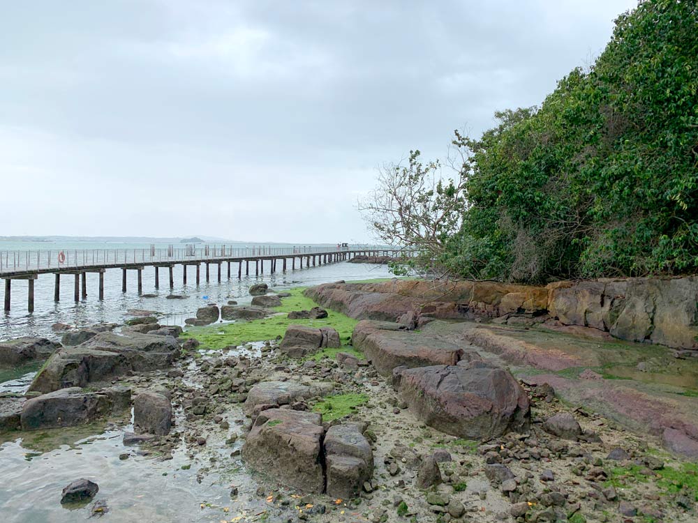


The boardwalk led across the intertidal area which is where the seabed is exposed during low tide and you can apparently spot interesting creatures popping up if you know what to look for. The general advice is to check the tide tables and come here when the tide is low – that was about 10am for me (it typically happens 2x a day and changes every day).
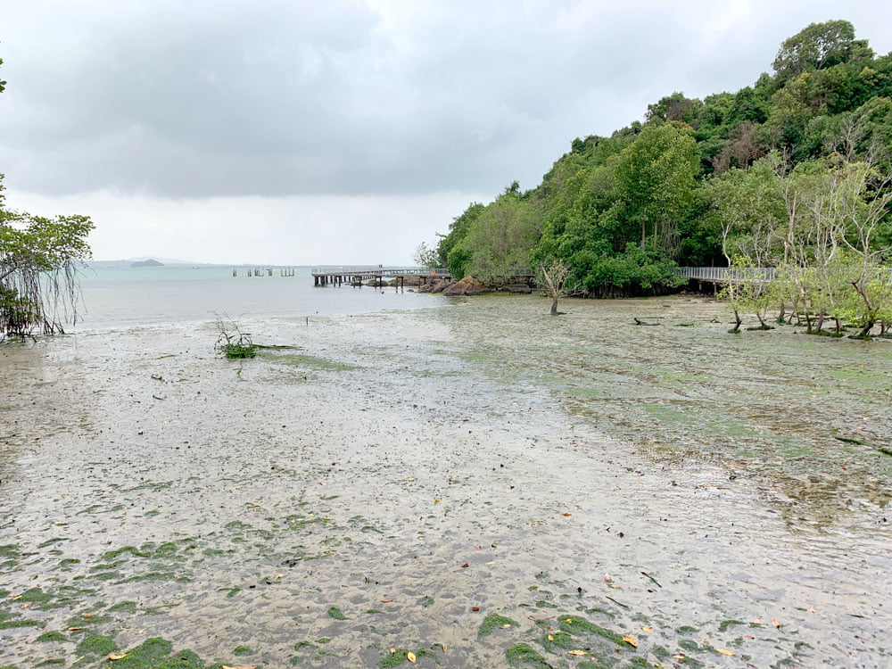

The trail circled back through the mangrove forests where I got a closer look at the exposed mangrove roots and saw some weird piles of mud among the mangroves, the work of burrowing mud lobsters.

Jejawi Tower
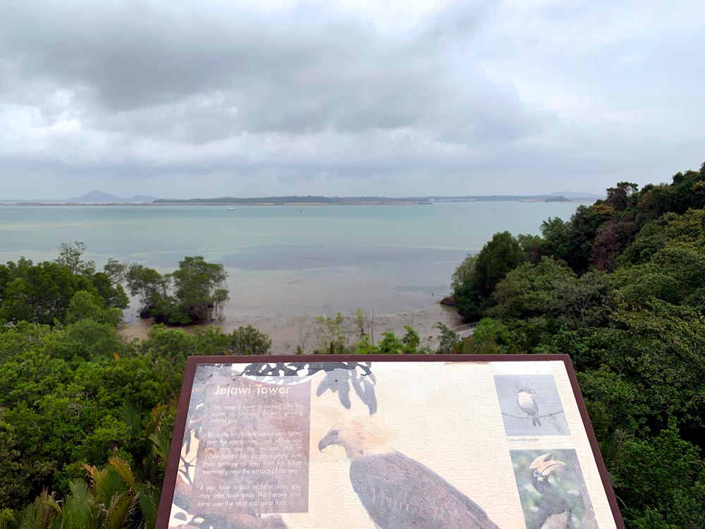
The trail forms a loop and brings you back to the main junction, but just before that you can climb up Jejawi Tower, named for the tall Jejawi tree right next to it, and this 7-storey tower gives you a real bird’s eye view of the canopy and surrounding area.

It was somewhat gloomy weather when I was up there so my pix are all pretty grey, but it was nice and breezy and I spotted a pair of eagles (?) among the treetops.
Balai Quarry Viewpoint
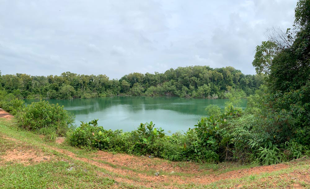
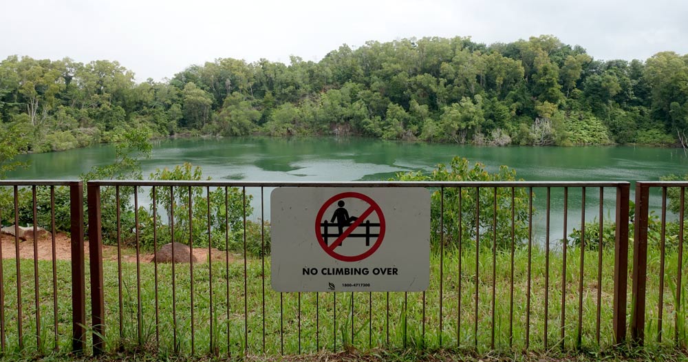
Entry and exit to Chek Jawa is a one-way loop, and on the road leading away from Chek Jawa (which is a bit more upslope-y than the journey in), I passed by my first quarry view: Balai Quarry Viewpoint. I stopped to admire the view and snapped some shots but there’s not much else to do so I continued on my way after that.
Ubin Fruit Orchard
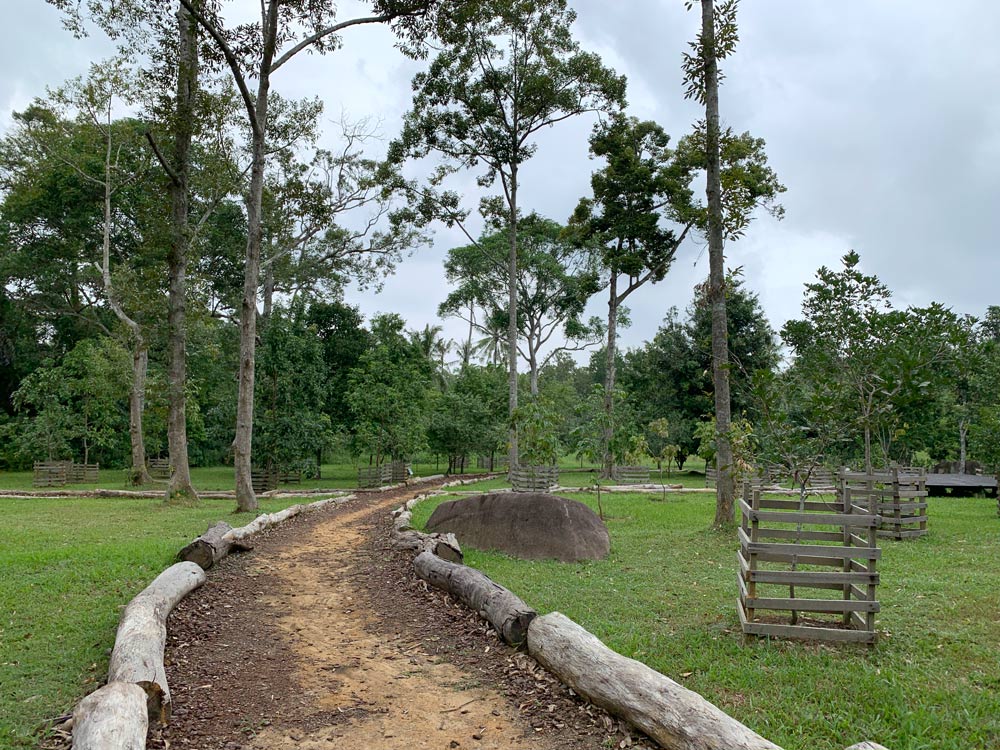
I passed by this on the way up but only decided to go in on the way back. If you’re a city girl like me and never seen fruit trees up close, this is the perfect chance to see what actual fruit plants look like. It’s basically a plot of land with a dirt path lined with different types of fruit trees.
I personally didn’t think it was that interesting, but maybe if I had a guide it would be more educational. There are some signboards and plant placards with a little more information about fruit trees, but otherwise it really is just looking at random fruit trees and plants.

Sensory Trail
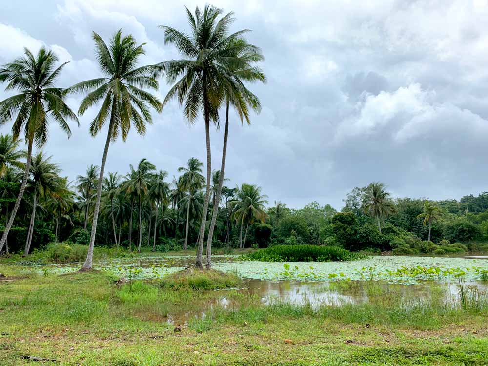
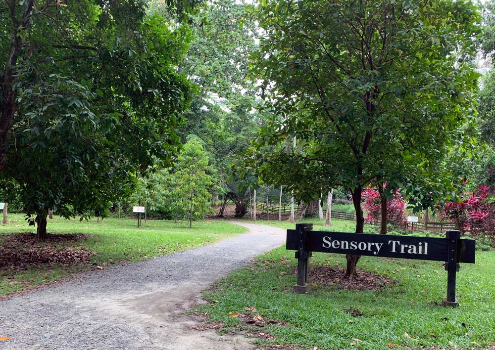
This trail is an alternative and more scenic path that will eventually lead you back to the jetty area. I passed by it on the way towards Chek Jawa but only decided to check it out on the way back. It showcases some of the plants and crops that were once grown economically on Pulau Ubin.

What to eat
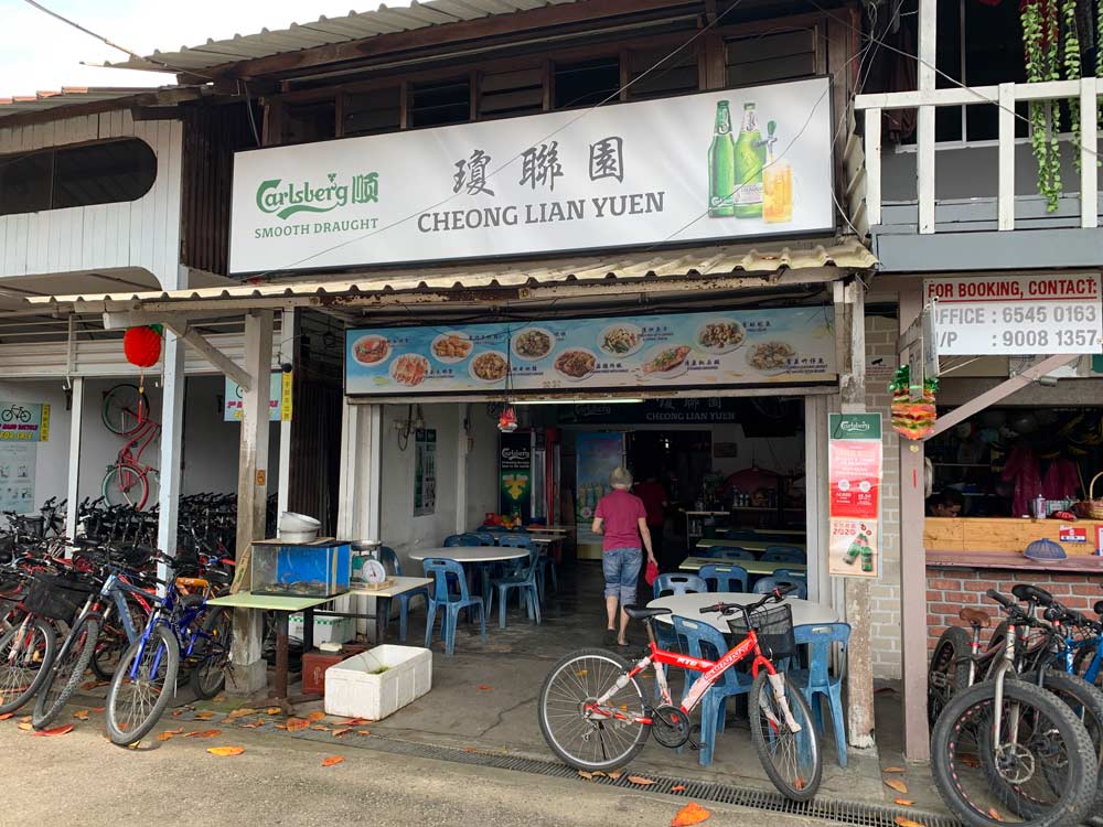
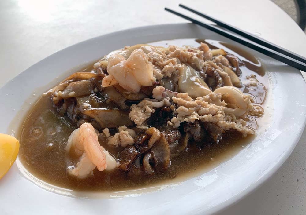
Most of the food can be found in the main village. I had lunch at a little shop called Cheong Lian Yuan that serves zhi char and seafood.
Seasons Live Seafood also looked like a popular spot, but since it was just me looking for a simple meal, I passed on this, but it looks nice for a large group looking to enjoy a good seafood meal together.
Afternoon: Pulau Ubin West Loop
If you are planning to spend a full day on Pulau Ubin or are a real mountain biking enthusiast, you need to go west instead to enjoy the best view up Puaka Hill and the rugged bike paths near Ketam Quarry.
Butterfly Hill
After lunch and changing my bike, I set out to explore the western side of Pulau Ubin. My first stop was Butterfly Hill, a small lump of a hill that was populated with butterfly-attracting plants and where you can find hundreds of different butterfly species if you have the patience to hunt and look for them. Apparently you can find a very rare type called a Dwarf Crow that was once thought to be extinct.
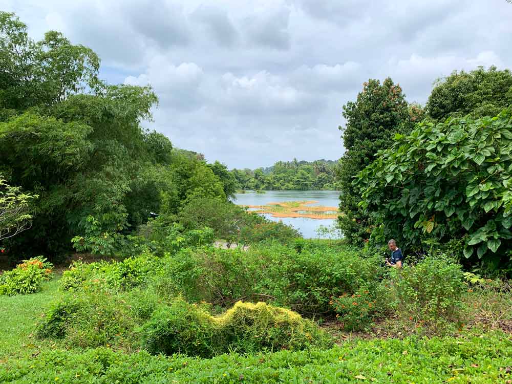
I’m no butterfly enthusiast so I basically enjoyed the view of Pekan Quarry on the inland side of the hill. The hill is part of the Jelutong Campsite and is within comfortable walking distance from the jetty area.
Ah Ma Drink Stall
I kept cycling along Jalan Jelutong until I reached an area just before a bridge and found the Ah Ma Drink Stall. I passed by it on the way up, but on the way back I stopped here to grab a much-needed drink and break.
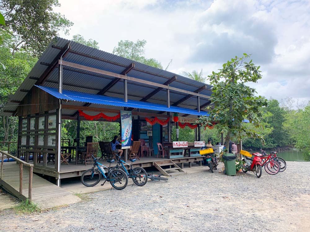
This drink stall has been an Ubin fixture for a long time, and Ah Ma used to personally harvest the coconuts that you could get here, though she’s gotten old so she’s since stopped. The original stall was also rebuilt as a community project as it used to get flooded during heavy rains.

Wei Tuo Fa Gong Temple
This is a private temple that you can check out in a turning off the main road right before the Puaka Hill site. It’s a pretty big temple site dedicated to a few different gods, but I didn’t really explore it further when I was there, you can read more about it here.

Puaka Hill and Ubin Quarry Viewpoint
Bukit Puaka or Puaka Hill is what I consider to be the highlight of this western loop of Pulau Ubin. This is where you can get a real bird’s eye view of the island and Ubin quarry right next to it.
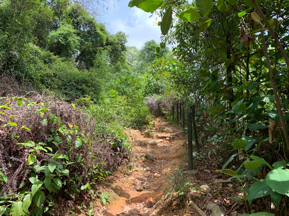
There are 2 viewpoints on this pathway. The first viewpoint took me about 5 minutes of climbing – take the left path when you reach a fork and there is a little viewpoint which offers a view mostly of the quarry.

I returned to the path and kept climbing upwards for another 10 minutes till I reached the second and higher viewpoint which gives the real panoramic view of Pulau Ubin from the top of Puaka Hill. There are barriers at both viewpoints that you shouldn’t climb over as you really don’t want to go plunging into the quarry unwittingly.

Make sure you have good shoes as the paths here aren’t paved. It also isn’t too arduous a trek as it is pretty short, so I’d recommend this if you’re up for a little adventure.
Ubin Living Lab
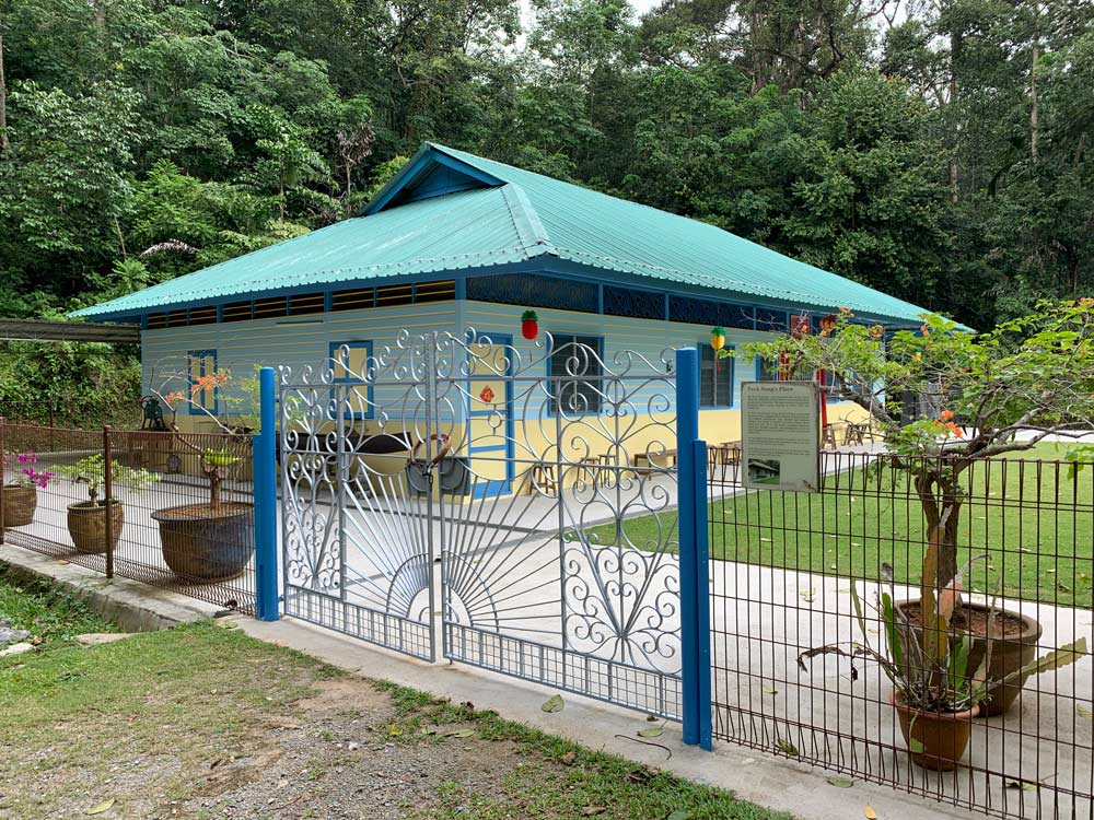
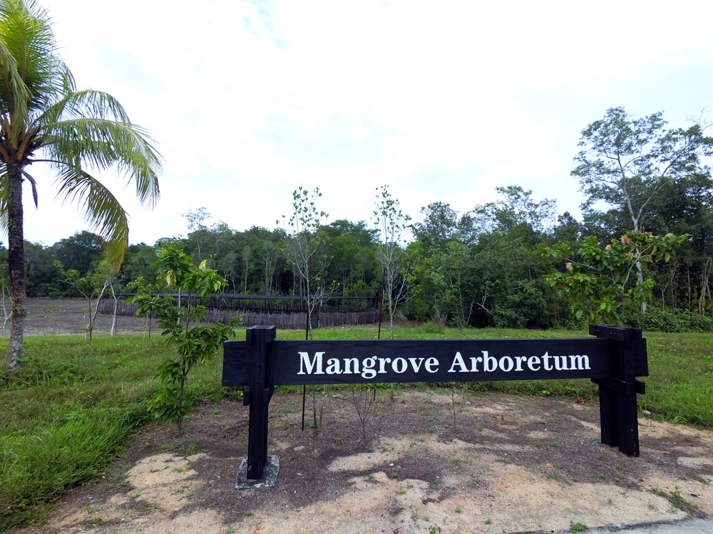
The Ubin Living Lab is a relatively new set up and is meant to be an outdoor classroom of sorts, with a large hall, first aid and toilet facilities. It is also home to the Endut Senin campsite beside a small lake and the Mangrove Arboretum where you can see different types of mangrove trees in the distance.
There’s not much else to do if you randomly drop in like I did – I cycled once around the small lake and cycled out.
Ketam Quarry
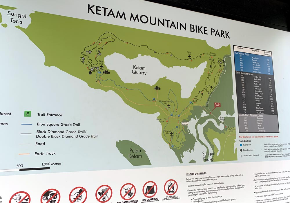
I kept cycling along till I reached the entrance of the Ketam Mountain Bike Park. The old Ketam quarry was converted into a mountain bike park with various dirt paths meant for different levels of cyclists. Most of the marked bike paths aren’t meant for beginners, so I stuck to the main Earth path for the most part.
German Girl Shrine
There are mentions of various shrines on Pulau Ubin, but the German Girl Shrine is perhaps the most well-known. It dates back to the start of World War I – the story goes that the land here was owned by a German family and when the British troops in Singapore rounded them up to the detention barracks, the daughter of the plantation owner managed to flee, but her body was found by plantation workers a few days later. This shrine was built in her remembrance although no one really knows her true identity. How much of this is true is pretty debatable – there’s an interesting article here debating how true the stories are.
It’s basically a landmark to see and maybe offer up some prayers if you are so inclined, but it’s not that remarkable for your general person. It’s located a short distance off the main earth path but isn’t difficult to get to.

Ketam Quarry Viewpoint
I was pretty tired at this point, so my final stop on this loop was the Ketam Quarry viewpoint. There are some stone seats here but no shade whatsoever, and it was mid-afternoon and super hot so I didn’t hang around for too long.

Other activities
Here are some other things to do on Pulau Ubin that I have yet to try:
- Nature walk on Pulau Ubin – NParks organises Chek Jawa nature walks and other walks around Pulau Ubin, but these are very popular and booked up almost immediately when they are released.
- Kayaking around the mangroves [klook affiliate link] – this 3hr kayaking tour looks like fun but you need to book beforehand and not for those on a very strict budget. Costs S$85.
- Kayaking around the island [klook affiliate link] – this kayaking tour covers the southwest end of Pulau Ubin, including the offshore Ketam Island. Costs S$91.
- Fishing – there were a lot of people with rods fishing on the beaches around the island. It’s not my thing, but it does seem popular if you enjoy fishing.
- Eat at a Kelong restaurant – If you rather just eat seafood, you can dine at one of these floating restaurants off the coast of Pulau Ubin. Check out Smith Marine for more. You do need to make prior reservations at least 3 days in advance so it’s not something you can do on the spur of the moment – you can also book via Klook [affiliate link].
Camping on Pulau Ubin
There are no hostels or hotels on Pulau Ubin if you want to stay overnight. However, if you enjoy outdoor camping (erm, not me), there are 3 campsites on the island worth considering. Camping is free but you have to bring all your own equipment. There are no showers on the island, only toilets and there is a large campfire area, but it’s pretty basic.
Maman Campsite
Maman is located on the Northeast coast of the island. I cycled over when exiting Chek Jawa and Petai Quarry. There’s a nice paved road that leads you to the campsite that faces Malaysian shores.
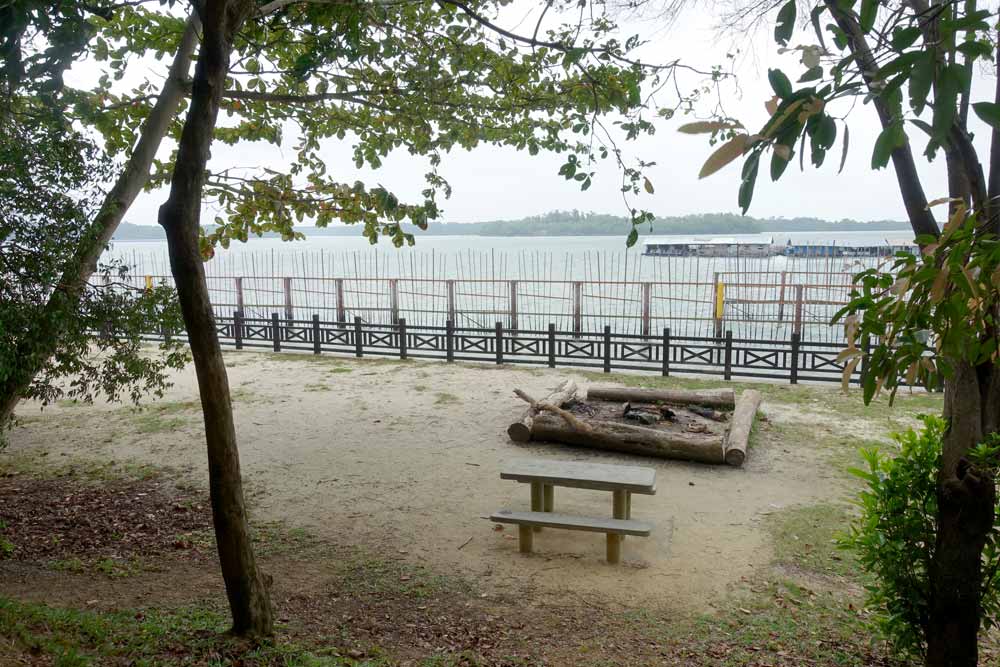
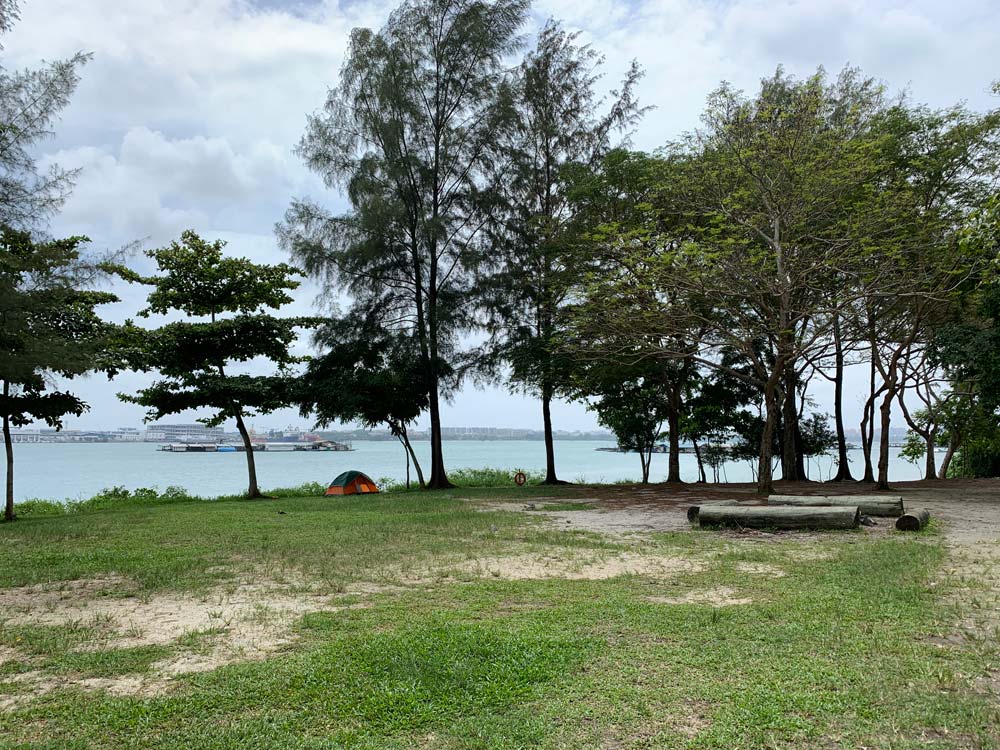
Jelutong Campsite
This is the most accessible campsite from the jetty area, just about 10mins walk from the main village in front of Butterfly Hill. Along the south coast of Pulau Ubin, it faces the Pasir Ris area on the mainland. You’ll have the most food options here.
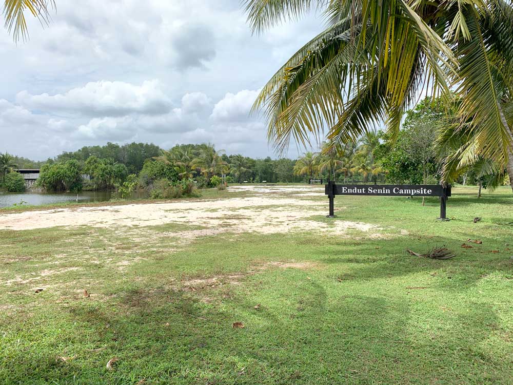
Endut Senin Campsite
This campsite is located within the Ubin Living Lab area and is the only one not along the coast. It is by a pond and you’re in much closer proximity to Ketam Quarry and Puaka Hill.
Around Changi Point
Besides seeing the island of Pulau Ubin, make a little time to explore the surrounding Changi Point area which is not very touristy at all.
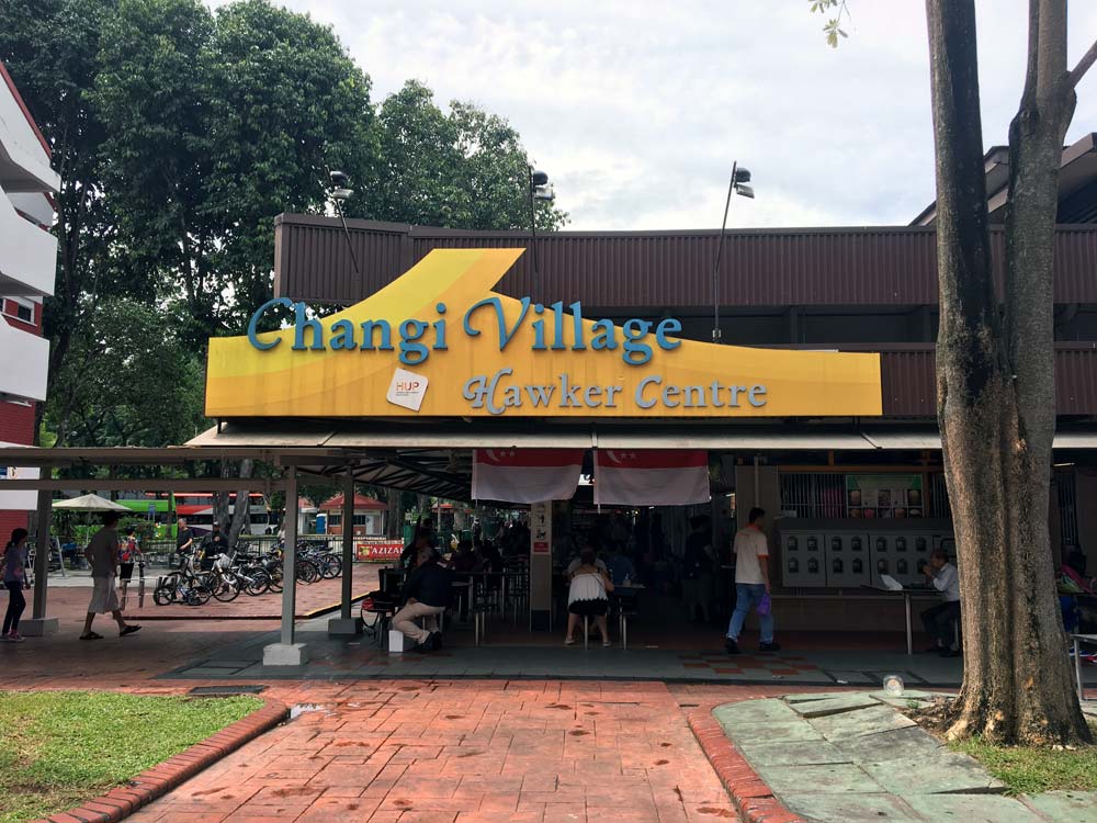
What to eat: Changi Village Hawker Centre
The area around the ferry terminal to Pulau Ubin, this area is particularly well-known for the Changi Village Hawker Centre which serves food till late at night. Some of the must-eats:
- International Muslim Nasi Lemak: Nasi Lemak (coconut rice with fried chicken wing, anchovies, egg, cucumber and sambal chilli)
- Weng Kee Ipoh Hor Fun: Chicken Chop Hor Fun (a flat rice noodle in braised soy sauce gravy topped with a fried chicken chop)
- Cendol Melaka: Original Cendol (a sweet ice dessert with green noodle-y strands soaked in coconut milk and topped with gula melaka and other toppings)
There are other cafes and eateries located around here as well. Chock Full of Beans is well-known for its intricate latte foam art drinks, and you can get locally brewed craft beer at Little Island Brewing Co.
What to see: Changi Point Park
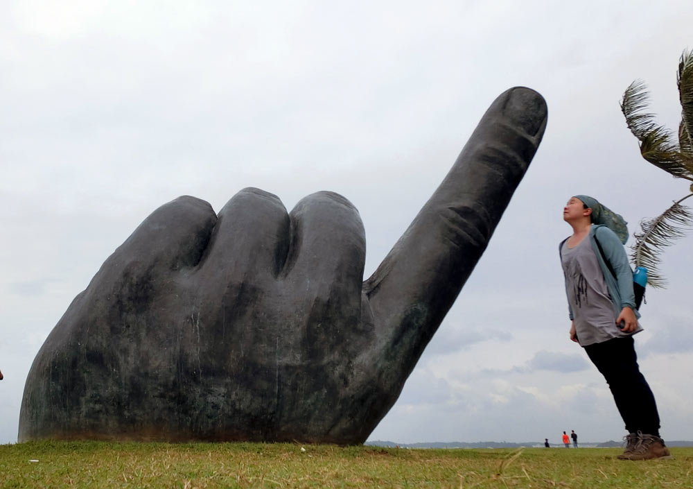
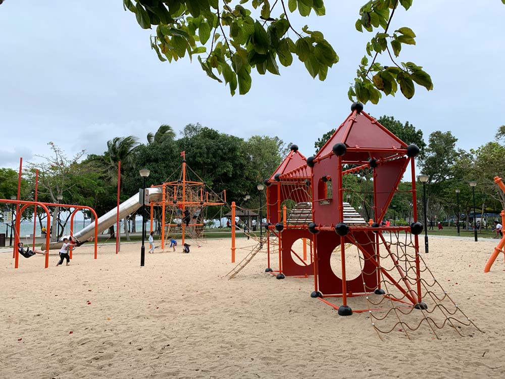
You’ll see Changi Point Park as the ferry passes across the channel to Pulau Ubin, and you can easily cross a small bridge to get there. It was super windy when I was there. Nice playground for kids, lots of space to run around. People fishing and just lying on the grass. Also, an interesting looking hand statue by Singaporean artist Lim Soo Ngee.
For more nature, take a stroll along Changi Point Coastal Boardwalk which hugs the coastline:
- Go west towards Changi Boardwalk and Changi Sailing Club
- Go east towards Changi Beach and Changi Ferry Terminal
Where to stay: Village Hotel Changi
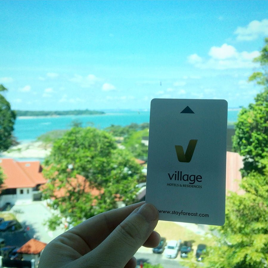
If you’re looking for somewhere to stay, I recommend checking out Village Hotel Changi which is walking distance to the ferry terminal. Rooms are nice and it has a great rooftop pool as well.
My Total Expenditure
If you’re on a budget, Pulau Ubin is quite an inexpensive option. Here’s what I spent on the day but you could easily spend less than S$20 if you just pay for the boat and bike rental and pack your own food.
- Parking at Changi Village Carpark: $9ish for about 9-10 hours of parking?
- Boat fees: $3 + $3 = $6
- Bike rental fee: $5 + $8 = $13 (I could have paid $12 for a full day if I just rented the good bike)
- Food: $5 + $3 = $8
Have you been to Pulau Ubin? Tell me what I might have missed out on in the comments. Check out more of my posts on my home country Singapore and more of the natural sights that Singapore has to offer.

